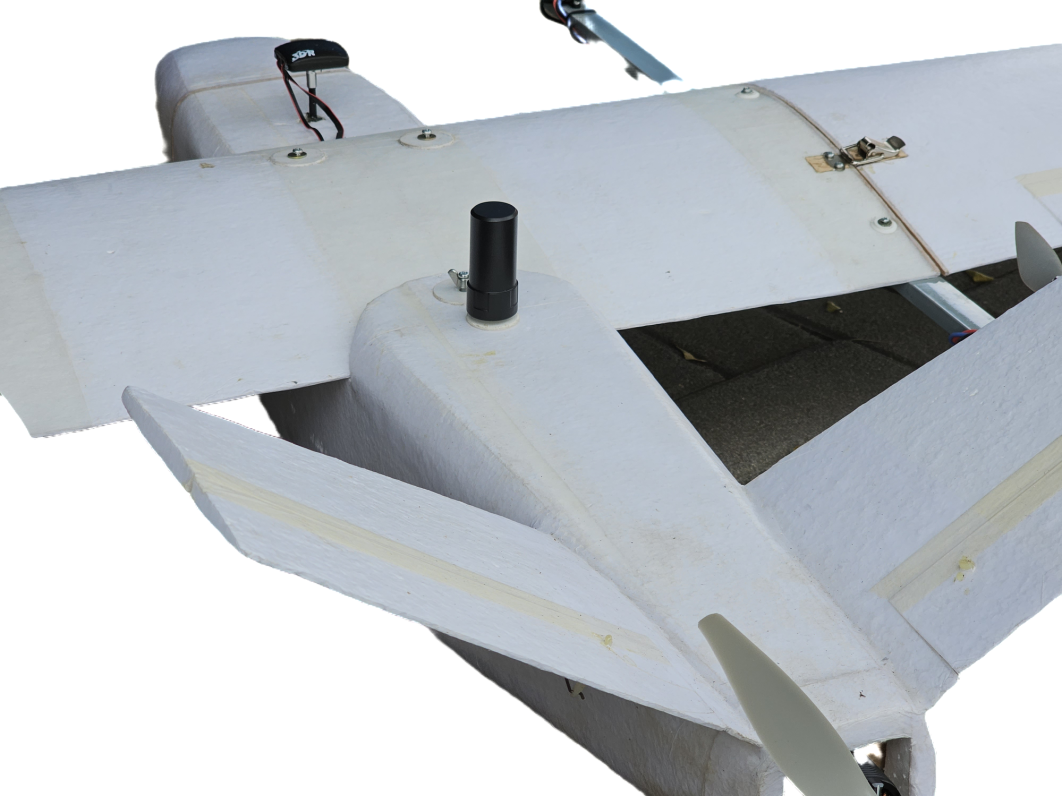
Potret 1800 VTOL Plane for Mapping with PPK technology
PPK ready with 20mpix camera
Panjang Sayap : 1800 mm
Lebar Badan : 1000 mm
Berat Terbang : < 3500 g
Kecepatan Jelajah : 12-20 m/s
Lama Terbang : 40-45 min
Cakupan Efektif Sekali Terbang : 250 - 400 Ha
Resolusi Spasial Citra : 5 cm - 15 cm
Telemetry range : < 2 km
Propulsion : MotorBrushless
Baterai : Li-Po 7000 Mah
Sistem Take-Off : VTOL
Sistem Pendaratan : VTOL
Keunggulan Spesial : GPS PPK Geotagging Ready
Flight Controller : PixHawk
Sistem Sensor : Kamera Digital Normal Angle
20 MPix
Ground Control System : QGroundcontrol
Mobilisasi Unit : Knock Down Modular
cek detail di instagram kami potretudara
https://www.instagram.com/p/CtIroDhMkvj/
atau website kami www.potretudara.com